Alos Satellite
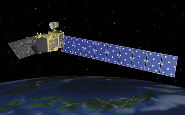
The Advanced Land Observing Satellite ALOS
The Advanced Land Observing Satellite ALOS
The access to freshwater resources is a crucial point for future generations, in particular in semi-arid and arid regions such as North Africa. Currently, typical water prospecting schemes start from existing geological maps, in order to define further fieldwork exploration. Several pilot projects have shown the usefulness of Earth observation data for generating structural maps that can then be used for water resources prospecting, using space-borne optical data such as LANDSAT to map surface structures in regions where a geological map is not available. A strong limitation of this process is the fact that most of the relevant geological features in arid regions are hidden under a layer of aeolian sandy sediments. In particular, the eastern part of the Sahara (Libya, western Egypt, northern Sudan and Chad) presents hyper-arid climatic conditions with large flat areas covered with a few meters of sand deposits. Subsurface geology (bedrock of volcanic rocks, limestone and sandstone) is then generally invisible for classical optical remote sensing instruments.
Low frequency orbital Synthetic Aperture Radar (SAR) nevertheless has the capability to probe from space the subsurface down to several meters in arid areas. Previous studies have shown that L-band orbital SAR was able to reveal buried and previously unknown paleo-drainage channels in Sahara. Within the context of the Kyoto & Carbon Initiative led by the Japanese Space Agency JAXA, we have assembled hundreds of SAR scenes acquired by the Phased Array L-band Synthetic Aperture Radar (PALSAR), on-board the Advanced Land Observing Satellite (ALOS). We thus produced a continental-scale radar mosaic of Sahara and Arabia, that revealed previously unknown geological features such as craters, faults and paleo-rivers. The latter are of highest importance for water resource management and prospecting in semi-arid and arid regions.
Review article published on MDPI : Mapping Palaeohydrography in Deserts: Contribution from Space-Borne Imaging Radar.