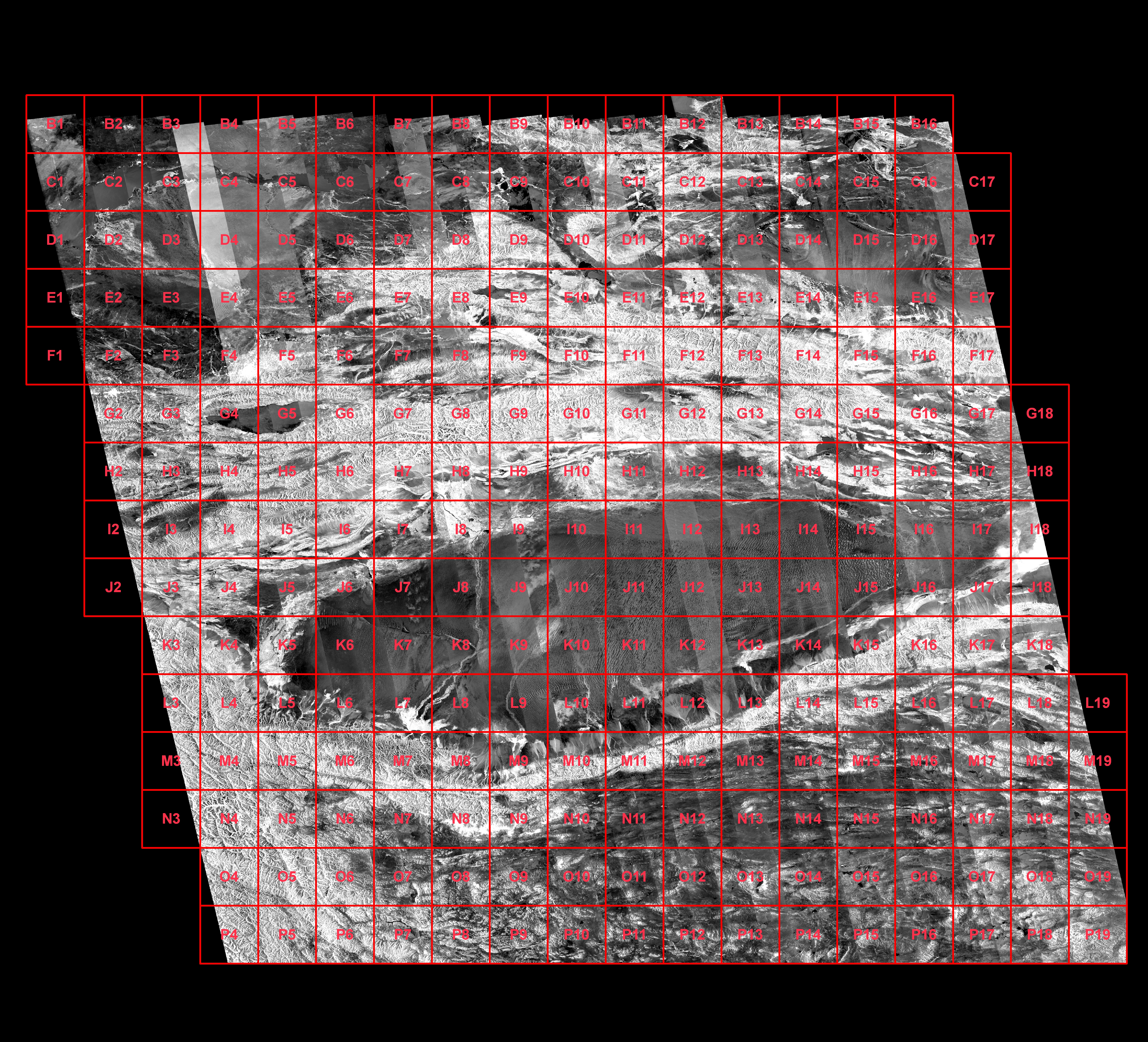
These images are produced with ALOS PALSAR data (50m resolution) provided by the JAXA.
Hydrographics informations, provided by USGS, were added as a layer (blue lines)
- - Each tile covers 1 by 1 degree area
- - Click on list below to open an interest area.
- - Click on the kml file to see the equivalent area in Google Earth