News:
March 8th 2017
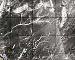
SAR and Palaeohydrography: A Review- You can download the new review article published on MDPI : Mapping Palaeohydrography in Deserts: Contribution from Space-Borne Imaging Radar.
May 16th 2016
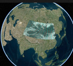
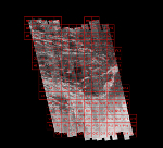
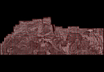
3D Gobi PALSAR Atlas- You can access our PALSAR mosaic of the Gobi Desert. This Atlas has been processed with PALSAR data (25m resolution) from Alos (Jaxa) and Hydrosheds (USGS). Each tile represents 1 by 1 degree cover. Before access these free data you need to create an account.
May 16th 2016
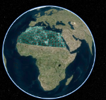
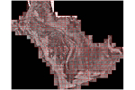
3D Sahara PALSAR Atlas- You can access our PALSAR mosaic of the Sahara. This Atlas has been processed with PALSAR data (25m resolution) from Alos (Jaxa) and Hydrosheds (USGS). Each tile represents 1 by 1 degree cover. Before access these free data you need to create an account.
November 16th 2015
Tamanrasett River- New article in Nature : African humid periods triggered the reactivation of a large river system in Western Sahara. Tamanrasett River.
June 18th 2015
Arabian peninsula radar Atlas- You can access our PALSAR mosaic of the Arabian peninsula. This Atlas has been processed with PALSAR data (50m resolution) from Alos (Jaxa) and Hydrosheds (USGS). Each tile represents 1 by 1 degree cover. Before access these free data you need to create an account.
June 18th 2015
Badain Jaran radar Atlas- You can access our PALSAR mosaic of the Badain Jaran Desert in China. This Atlas has been processed with PALSAR data (50m resolution) from Alos (Jaxa) and Hydrosheds (USGS). Each tile represents 1 by 1 degree cover. Before access these free data you need to create an account.
May 26th 2015
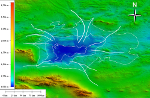
Lake Ulaan Nuur- New article : Mapping potential shallow groundwater in the Gobi Desert using remote sensing: Lake Ulaan Nuur.
March 20th 2015
Taklamakan PALSAR/Hydrosheds mosaic added- You can access our PALSAR mosaic of the Taklamakan Desert. This Atlas has been processed with PALSAR data (50m resolution) from Alos (Jaxa) and Hydrosheds (USGS). Each tile represents 1 by 1 degree cover. Before access these free data you need to create an account.
-
March 20th 2015
Sahara PALSAR/Hydrosheds mosaic added - You can access our PALSAR mosaic of the North of Africa. This Atlas has been processed with PALSAR data (50m resolution) from Alos (Jaxa) and Hydrosheds (USGS). Each tile represents 1 by 1 degree cover. Before access these free data you need to create an account.
-
March 18th 2015
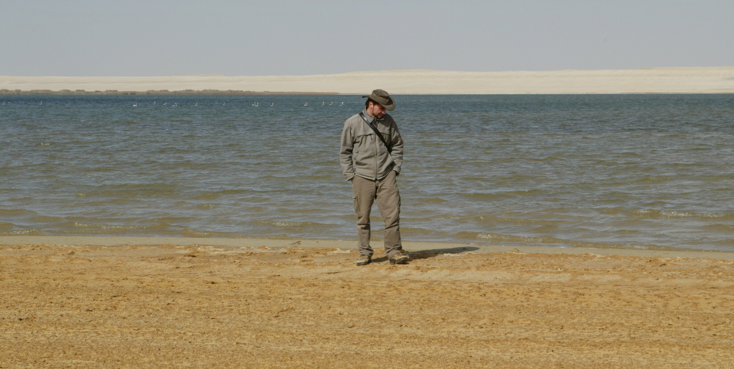
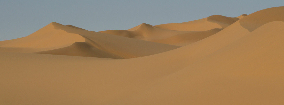
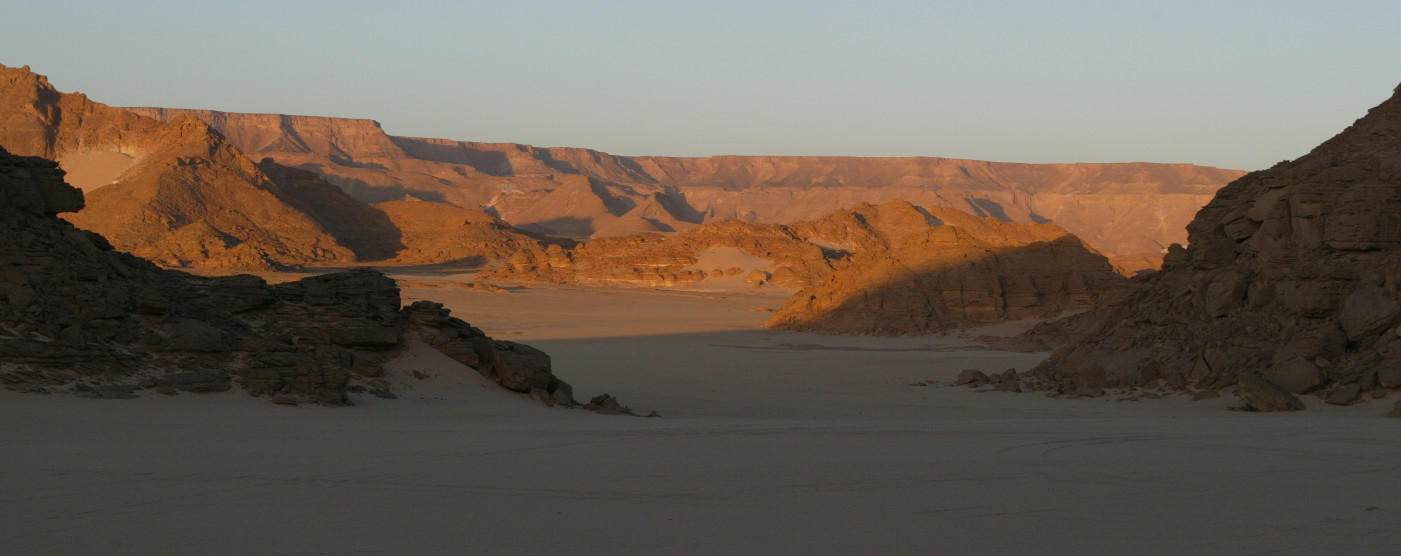
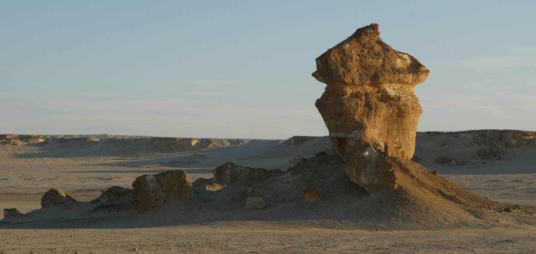
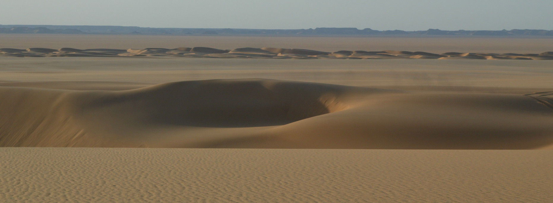
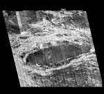
Photo gallery added - We propose you to see some pictures taken by Philippe Paillou and Sylvia Lopez during field work in Egypt (2006).